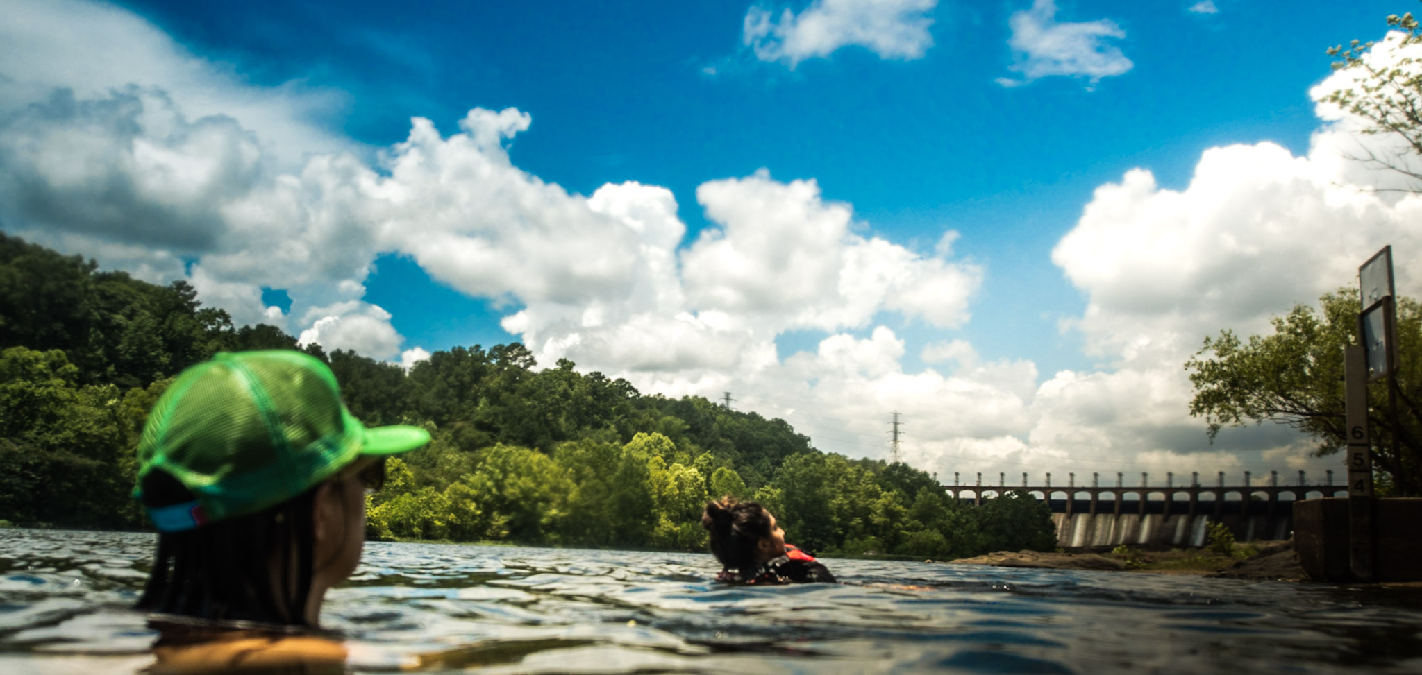
Every summer from Memorial Day until Labor Day, you can count on Coosa Riverkeeper to help your family get the skinny before you dip on the Coosa by testing water quality at popular places on the river.
Our team starts sampling water quality conditions weekly starting May 21st and will provide free results to the public. Learn where we’re sampling this year near you, what our alerts mean, and how you can get the data weekly below.
Our water quality alerts are just like a traffic light!
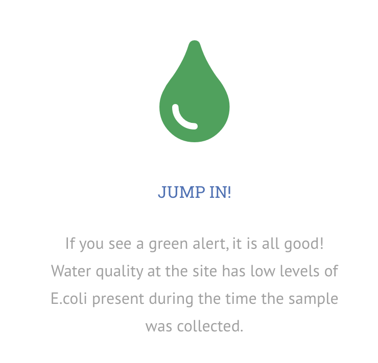
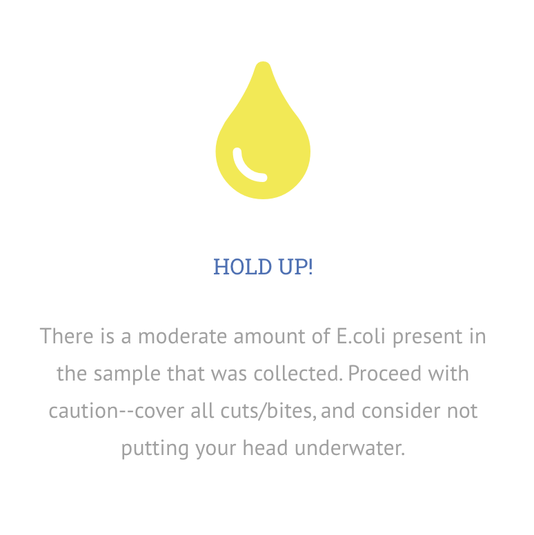
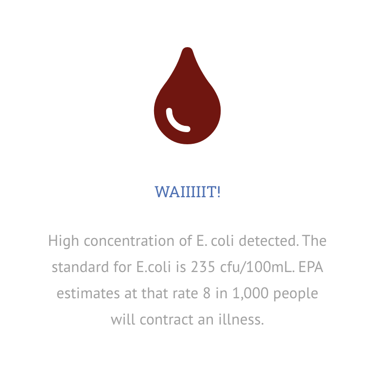
Dive in and Learn More about Swim Guide!
2020 Swim Guide Sites
North Route
Neely Henry Lake & Tributaries:
- Little Canoe Creek
- Big Canoe Creek- Ashville
- Big Wills Creek
- Black Creek Walking Trail
- Hokes Bluff Mill Pond
- Jack L Ray Park
- Lake Gadsden
- Rainbow Landing
- Ten Islands Park
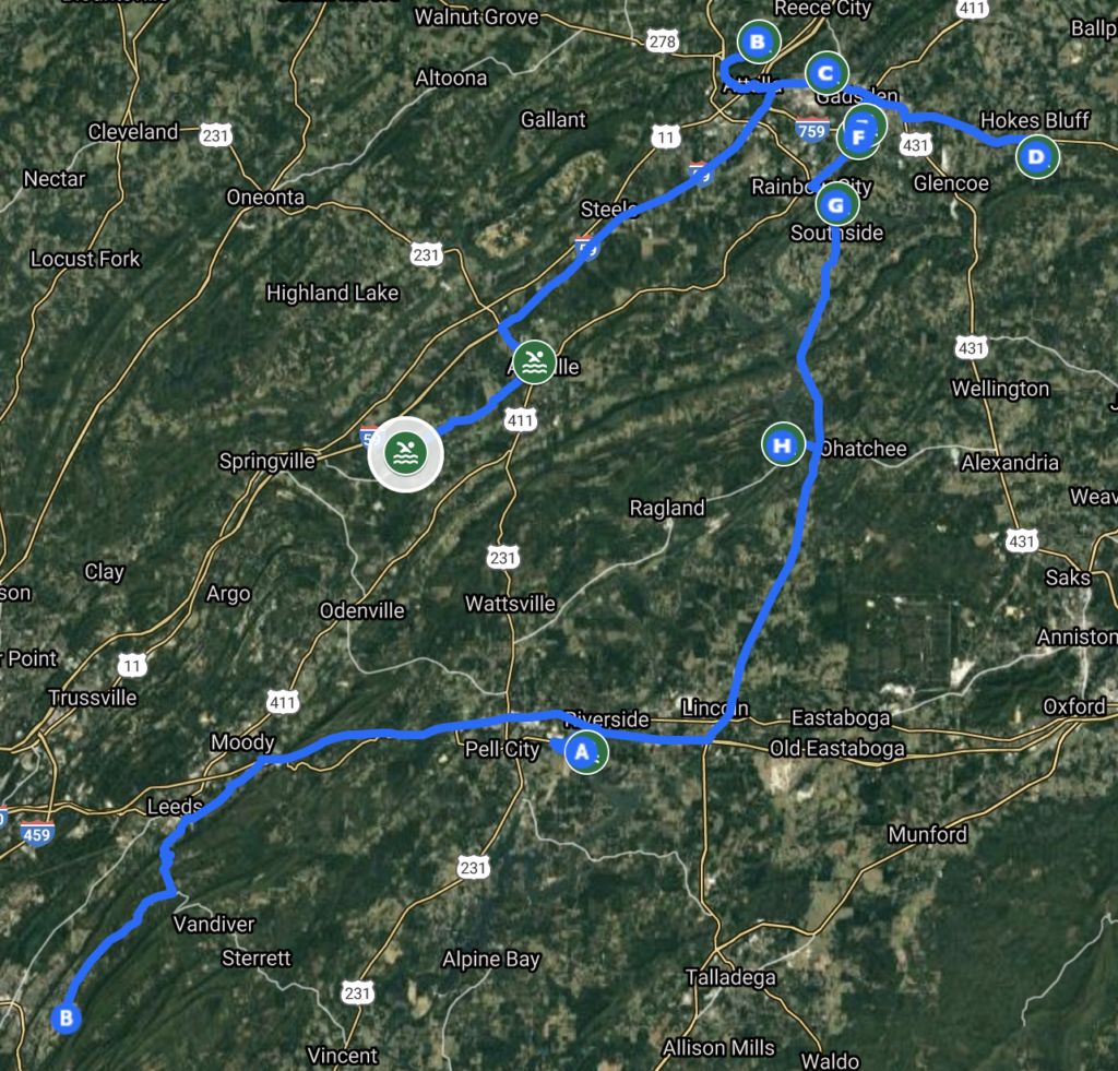
Central Route
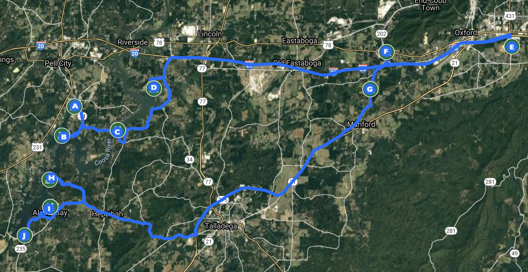 Logan Martin Lake & Tributaries:
- Pell City Lakeside Park
- Lake Shore
- Clear Creek Slough
- Cropwell Branch
- Middle Choccolocco
- Choccolocco Creek Outfitters
- Coldwater Creek Memorial Park
- Lower Choccolocco Creek
- Griffit Bend
- Logan Martin Dam Park
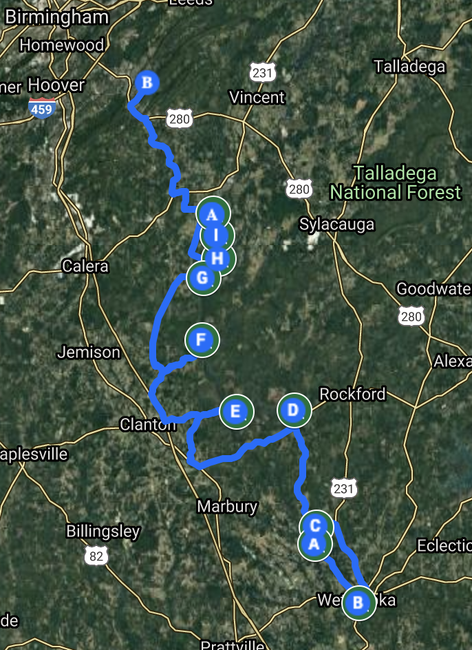
South Route
Lay Lake & Tributaries:
- Shelby Shores
- Flat Branch
- Kate’s Branch
- Bulley Creek
- Lay Dam Boat Ramp
Lake Mitchell & Tributaries:
- Hatchet Creek
- Higgins Ferry Park
Lake Jordan, Tributaries & Tailwaters:
- Bonner’s Point
- Weoka Slough
- Wetumpka
How to Find Our Data
- Visit the Coosa River Swim Guide webpage
- Sign up for our weekly e-mail blasts
- Follow us on Facebook, Instagram, and Twitter
- Download the Waterkeeper Swim Guide app on your smart phone
- Subscribe to our text alert system- text SWIMGUIDE to 844-83

